Koblenz and the Deutsches Eck
Koblenz is a beautiful... and very busy... city. I was amazed I found parking within, but it happened purely by chance. For more information on the city, visit their official website: Koblenz official website.
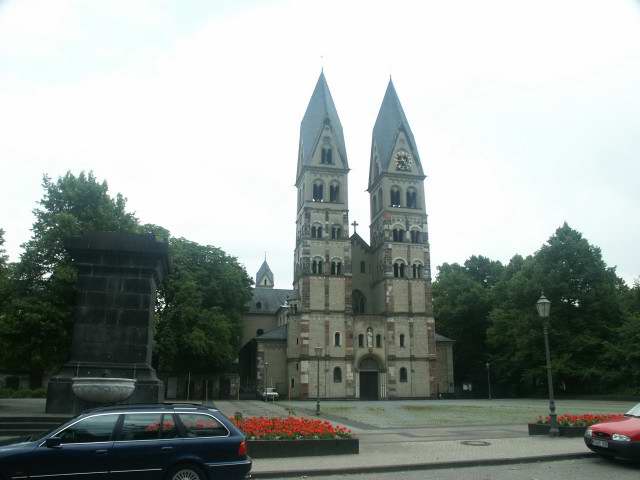
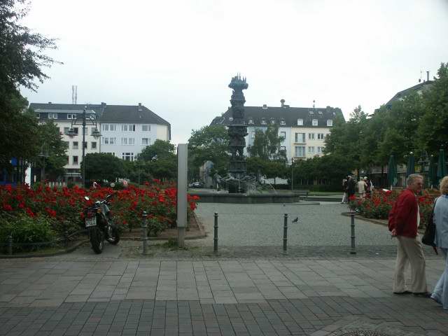
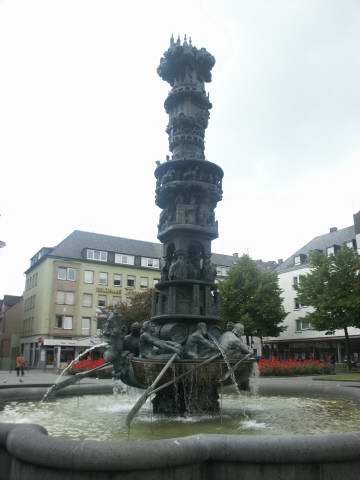
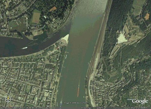
Below is view of part of Koblenz, along with the Deutsche Eck and Ehrenbreitstein. The photo dates from around 2003.
Above, St. Kastor's Church.
Left: if my memory serves me right, this is the courtyard of the Town Hall, which used to be a Jesuit College.
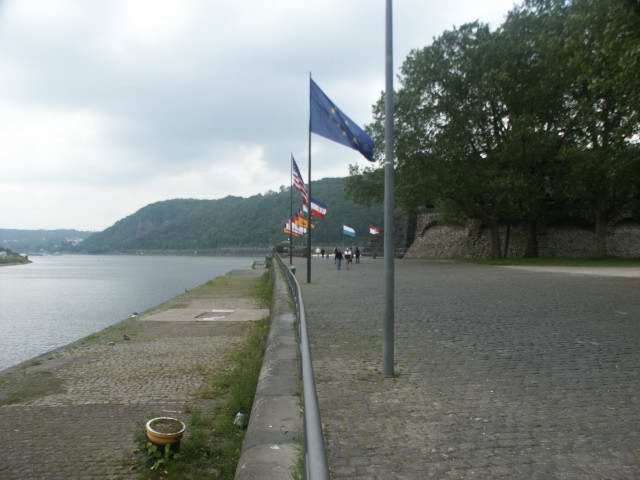
Below right is a view along the walk towards the Deutsche Eck. The Mosel River is on the left, with the Rhein in the distance.
Koblenz is a very old town. It was first known as Confluentes (the Confluence), and was a Roman fort along the frontier with Germania. Over time the name was altered and modified, but still retains its Latin heritage.
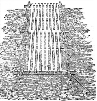
While there is dispute over this, it is very possible that Koblenz was the site of Julius Caesar's famous bridge across the Rhein when he planned his brief expedition against the German tribes. Fuller seems to acept the Koblenz area, while Dodge believes the site was Bonn. The translator of the Loeb classic edition accepts Koblenz. Caesar himself is inconclusive on the point. His actual plan for the bridge is explained in his Commentary on the Gallic War, Bk IV, 17.
His bridge design was simplistic but exceptionally functional, which indicates the level of engineering expertise within his army.
The illustration at left was taken from a website that adapted it from the following source:
Roig, J.  Nuevos Puentes/New Bridges
  Gustavo Gili, Barcelona 1996
  TG20.R65 1996
